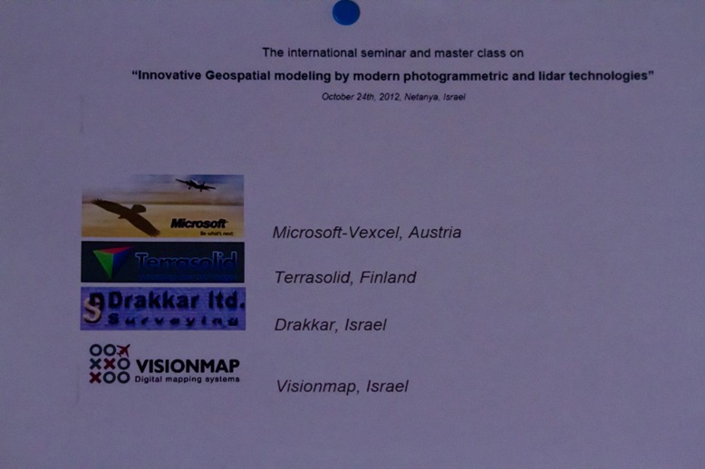
The international seminar and master class on
“Innovative Geospatial modeling by modern photogrammetric and lidar technologies”
October 24th, 2012, Netanya, Israel
Presenters:

Microsoft-Vexcel Terrasolid Drakkar VisionMap
Dear colleagues!
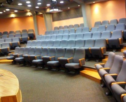
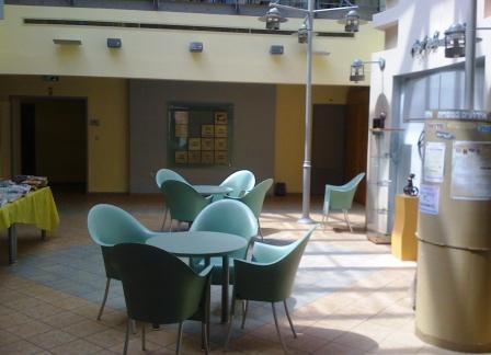
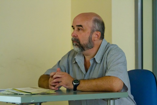
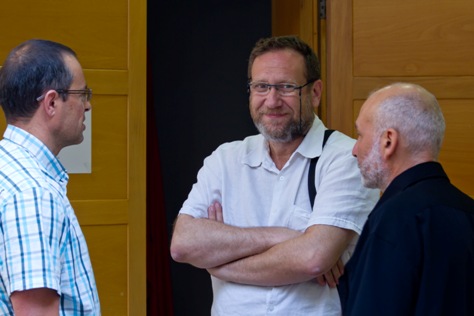
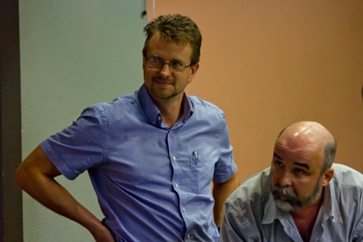
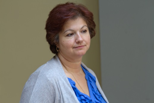
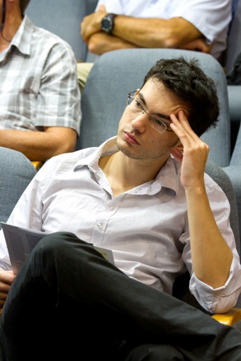
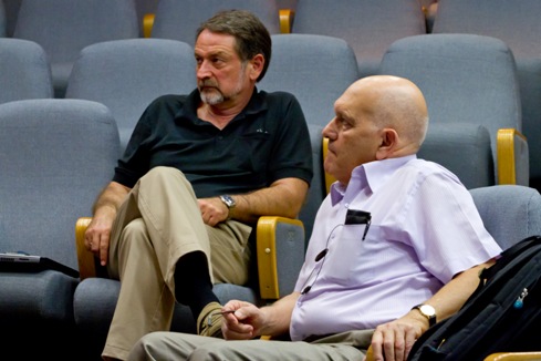
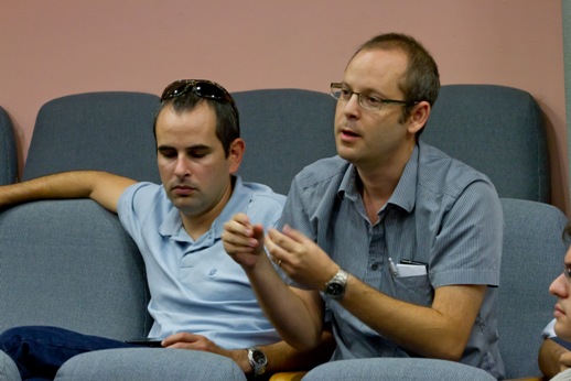
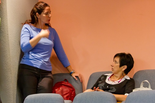
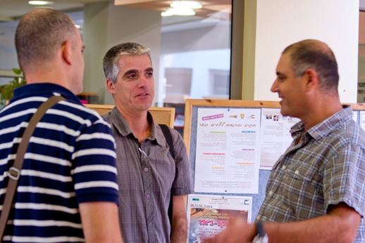
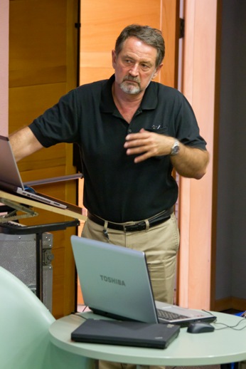
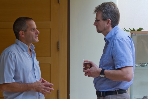
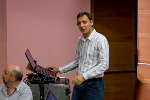
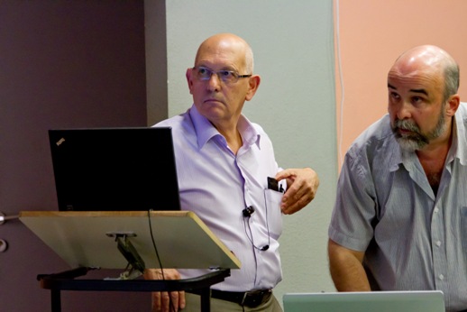
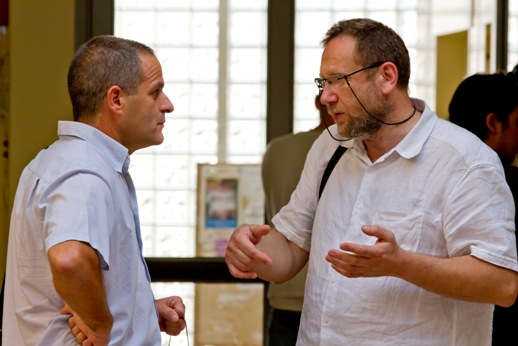
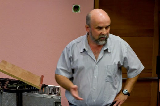
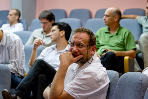
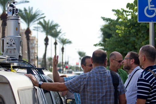
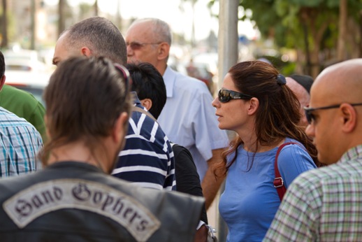
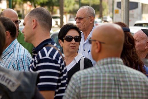
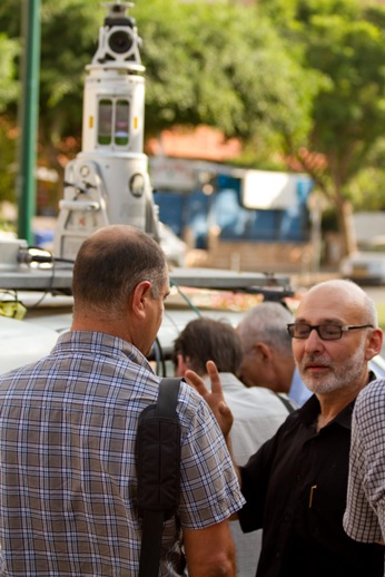
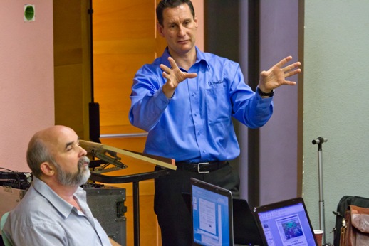
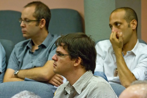
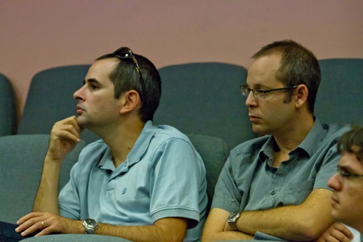
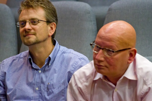
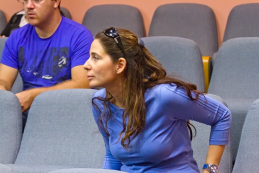
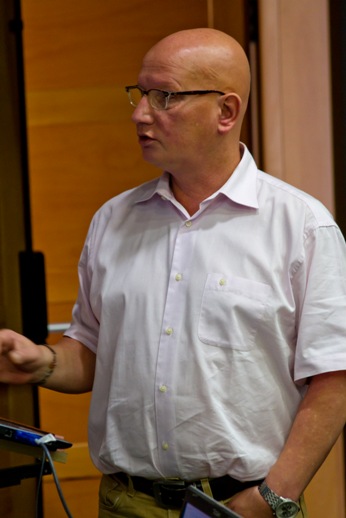
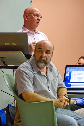
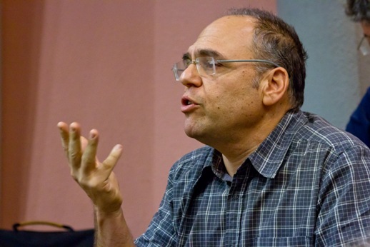
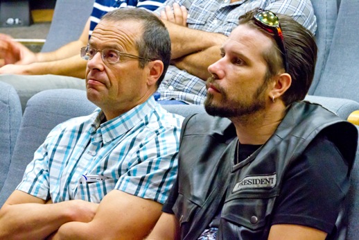
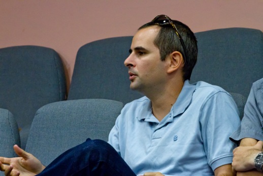
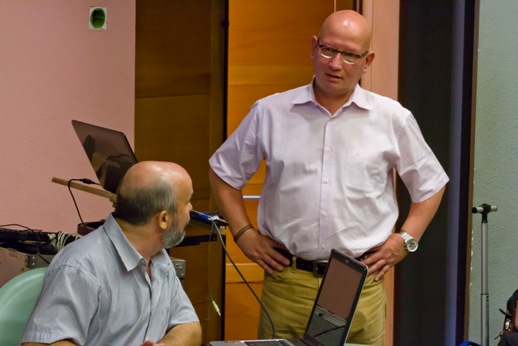
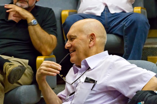
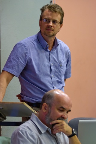
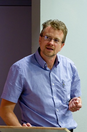
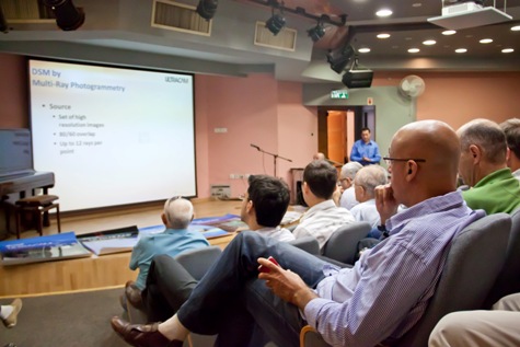
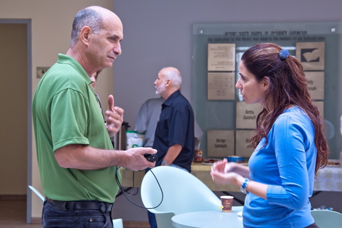
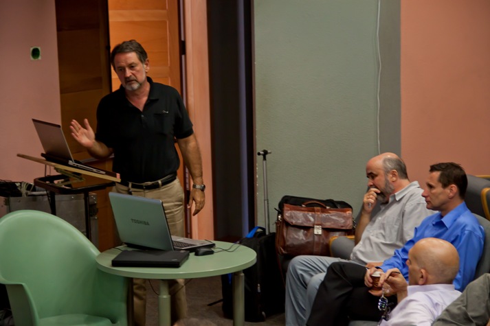
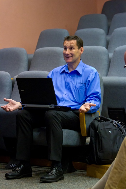
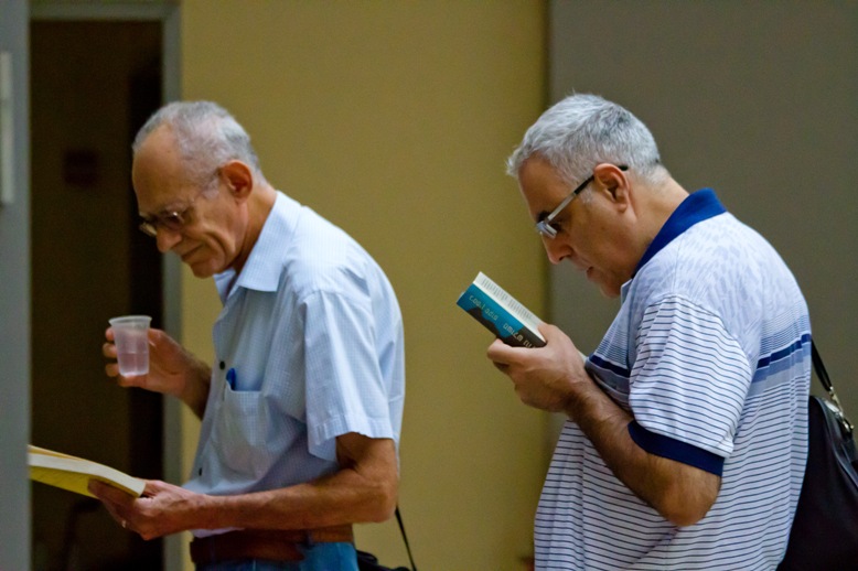
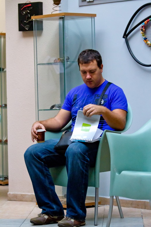
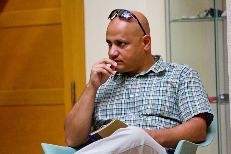
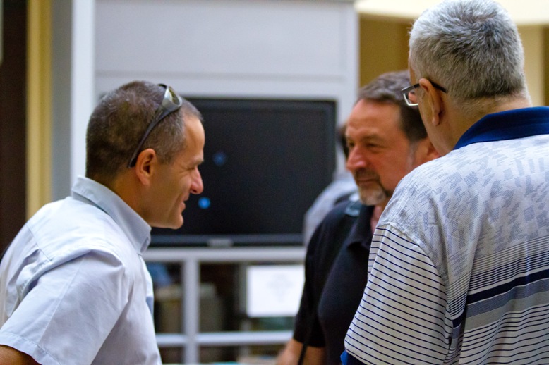
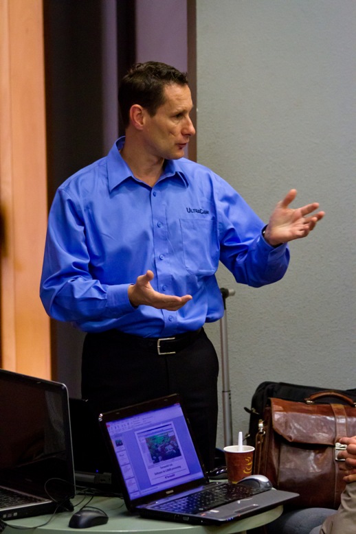
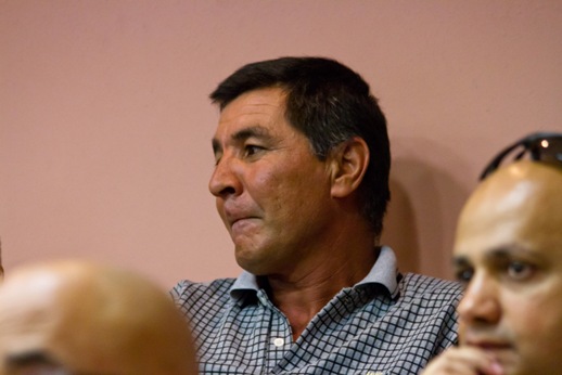
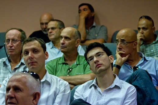
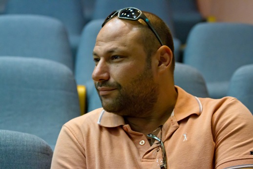
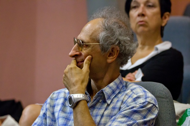
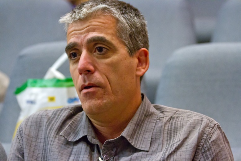
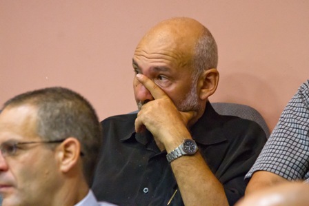
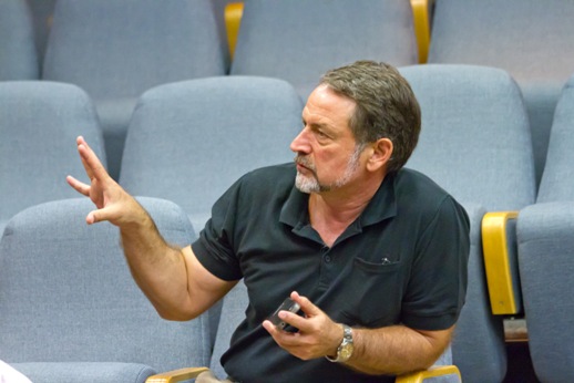
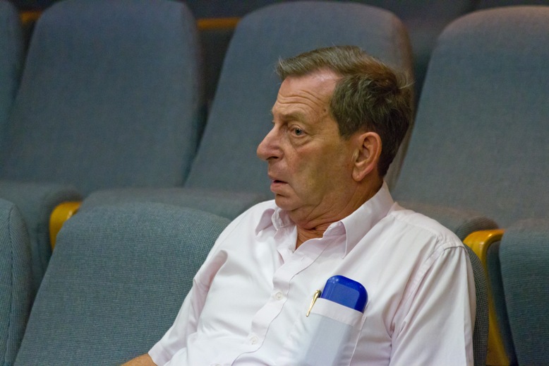
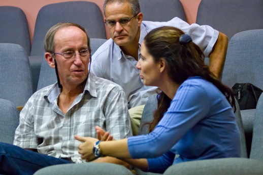
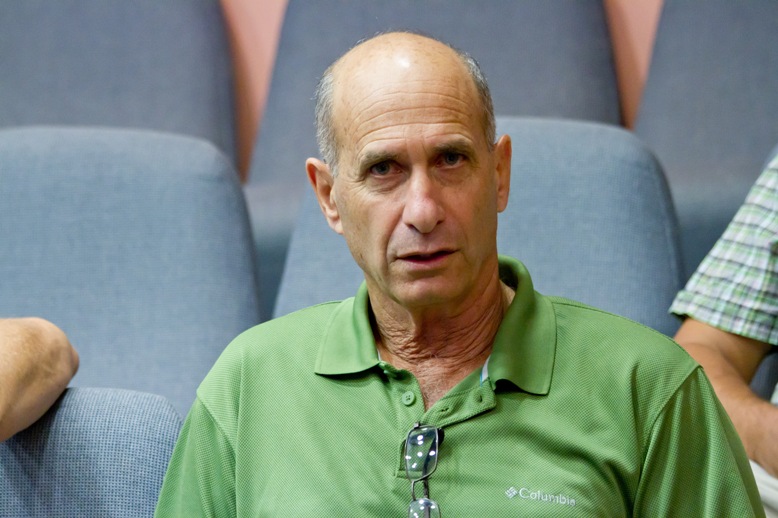
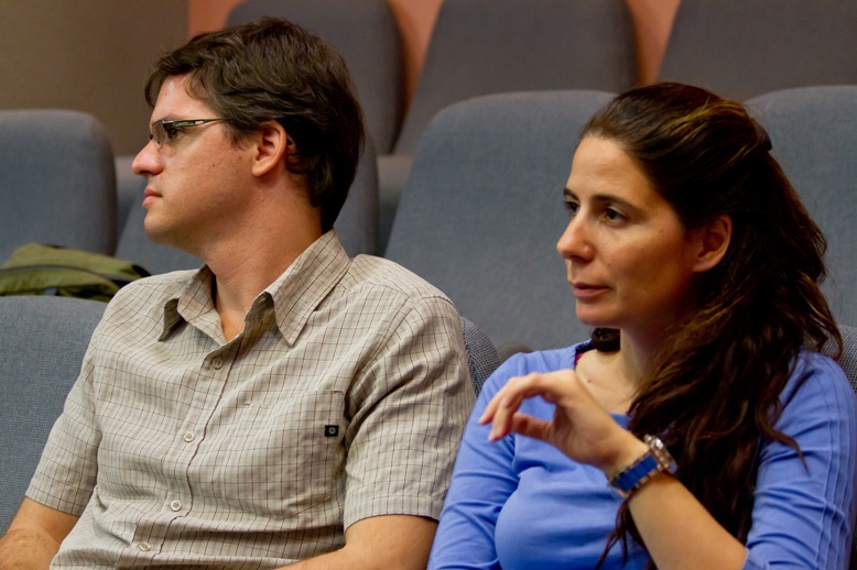
The international conference "Innovative geospatial modeling by modern photogrammetric and lidar modeling" has been conducted with a great success. We would like to thank everyone who took part in our conference. Our special thanks to the reporters who helped to make discussionds interesting and fruitful. We will be glad to see you again at our future events. Please find a photo report below.
Our best regards,
Organizing committee.
Let us know (by e-mail info@drakkar.co.il) if you want to receive a copy of any presentation delivered at the conference:
Download materials:
1. Engelber Breg, Microsoft-Vexcel "The power of multi ray photogrammetry", 273 Mb
2. Yuri Raizman, VisionMap, "A3 digital mapping systems", 4.5 Mb
3. Evgeny Medvedev,Drakkar,"Drakkar‘s technologies in use: real time 3D cartography, topography & civil engineering works. Mobile mapping with PolyScan: methodology, metrological & algorithmic support", 6.5 Mb


| Microsoft-Vexcel | World leader in large-format digital topography cameras manufacturing. Technological supplier for the Microsoft‘s BING MAPs and the Global Ortho projects. Innovative geospatial modeling with digital aerial photography data. |
| Terrasolid | World leader in airborne and terrestrial lidar (laser scanning) data modeling. |
| Drakkar | Innovative engineering company working in Israel and globally. Lidar, aerial photography and infra-red data fusion in topography applications, engineering survey, power lines inspection, mine survey and cultural heritage works. |
| Visionmap | Leading provider of digital automatic aerial survey and mapping systems. |
Preliminary program:
| 9:00 - 9:10 | Welcome speech | ||
| 9:10 - 10:00 | Engelbert Breg, Microsoft Vexcel | "The power of multi-ray photogrammetry. The automated workflow for 3D city model production of Microsoft‘s Virtual Earth project." | |
| 10:00 - 11:00 | Mika Salolahti, Terrasolid | "Terrasolid technologies in use" | |
| 11:10-11:20 | Coffee break | ||
| 11:20- 12:10 | Yuri Raizman, Visionmap | "An oblique imagery and 3D city modeling with Visionmap A3 mapping systems" | |
| 12:10 - 12:25 | Walter Dreifuss, Waldytech | "Modern Novatel and Waypoint technologies in geomodeling" | |
| 12:25-13:10 | Evgeny Medvedev, Drakkar | "Drakkar‘s technologies in use: real time 3D cartography, topography & civil engineering works. Mobile mapping with Drakkar‘s PolyScan: methodology, metrological and algorithmic support." |
Master class:
| 13:10 -14:00 | Mika Salolahti and Evgeny Medvedev | "Ultimate mapping machine" |
Materials to download:
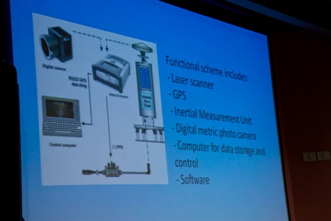
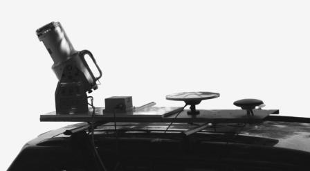
1. Dr. Medvedev E.,Gutman V.,Weitsman M.Universal mibile laser scannung complex PolyScan
Conference topics:
- Microsoft BING MAPS project for the global coverage: comprehensive photogrammetric technologies for geospatial automated processing.
- Microsoft Global Ortho project. Latest technological innovations.

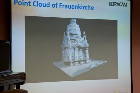
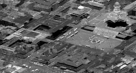
- Complete technological chain in the modern photogammetry for deep geospatial modeling: Vexcel’s UltraCAM large format digital topographical cameras, INS and UltraMap software for aerial data processing and detailed structural terrain and man-made objects reconstruction.
- The extra high overlap (up to 97%) survey method for “dead zones” elimination and automation of tie points searching.
- The “real central projection” camera model advantages for city modeling needs.
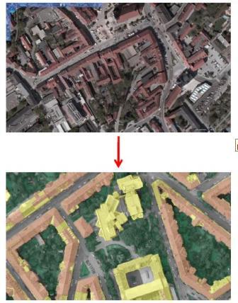
- Automated photogrammetric measurements and surface modeling (DSM, DTM, classification). Automated layers classification (terrain, buildings, vegetation, rivers) with photogrammetric data. Roofs and building walls extraction.
- 2.5D and 3D buildings representation with aerial data.
- Real time 3D urban modeling with Terrasolid technologies including lidar and photo data.
- Building vectorization and wall raster with the latest versions of Terrasolid software.

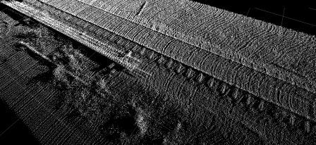
- Digital terrain modeling with lidar data (new approaches).
- Drakkar’s experience of lidar, photogrammetric & thermovision data fusion for topographical and engineering applications.
- Power lines modeling.
- Precise combining lidar and photo data. Calibration and metrological support. Sub-pixel resolution imagery.
Master class:
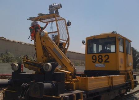
- Drakkar’s real time lidar & photo survey with PolyScan mobile mapper.
- Terrasolid’s real time data processing with the data acquired at the previous stage.
- Real time producing precise 3D model of the city of Netanya.
Conference location:
60, Sderot Binyamin st., Netanya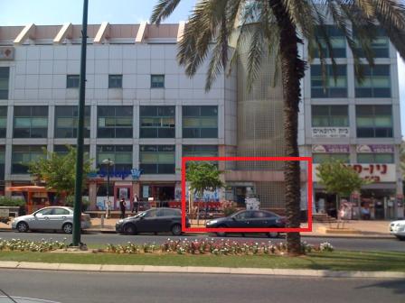
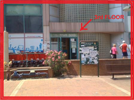
The conference center is located on the 3rd floor.